Skip navigation

Category Archives: hike

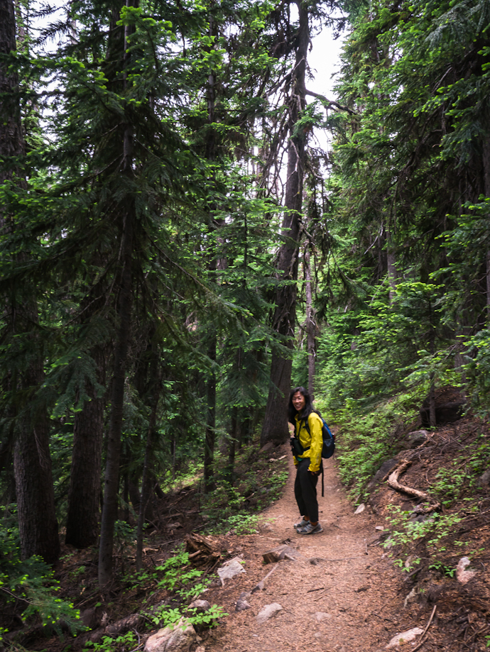
Yesterday I hiked to Tiffany Mountain again. You may recall that Luna and I walked that trail back in July. Pictures are here. This time, my friend Marcy and her dog Guthrie went along. It started out fairly chilly with Marcy wearing a wool sweater but soon we were warm and enjoying the trail. It was good to be at a high elevation. Our valley is full of smoke from forest fires burning in various places throughought north central Washington. It looks like some will burn til the snow falls. Right now, there is no rain in the forecast to dampen them.

Tiffany looks much different than it did in July. At that time the snow was newly melted and the ground was moist and wildflowers were coming in to bloom. Yesterday, the trail was dusty; most flowers were dried and the grass was crisp. The verdant greens were gone replaced with dusty yellows and oranges. The first larch trees have turned yellow.


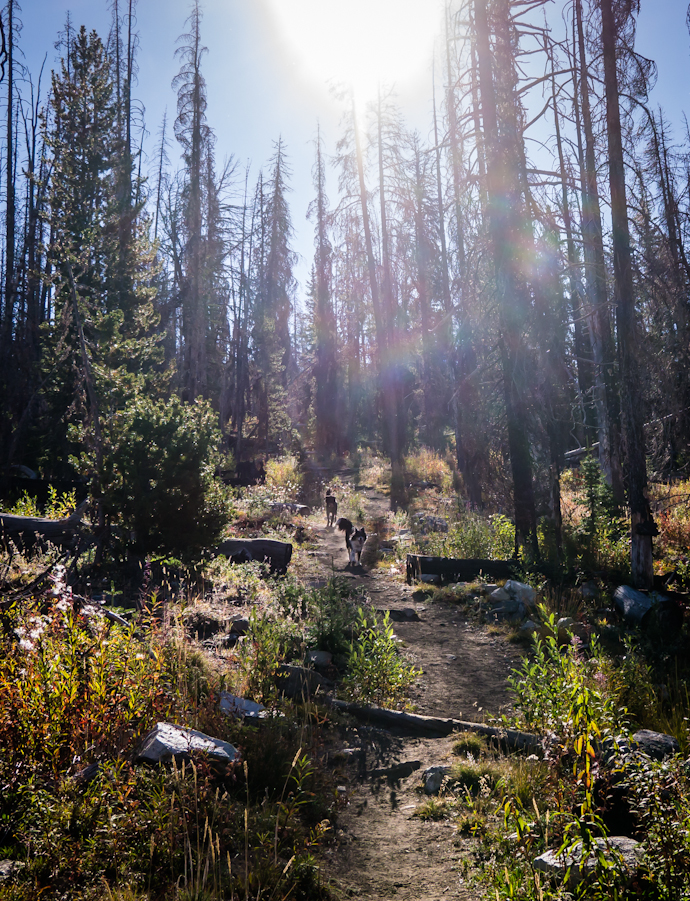
Exuberant dogs, happy to out of the car and on the trail


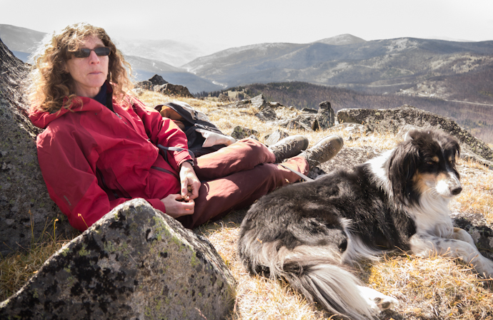
Stopping for a break in the sun, Guthrie expressed interest in my snacks


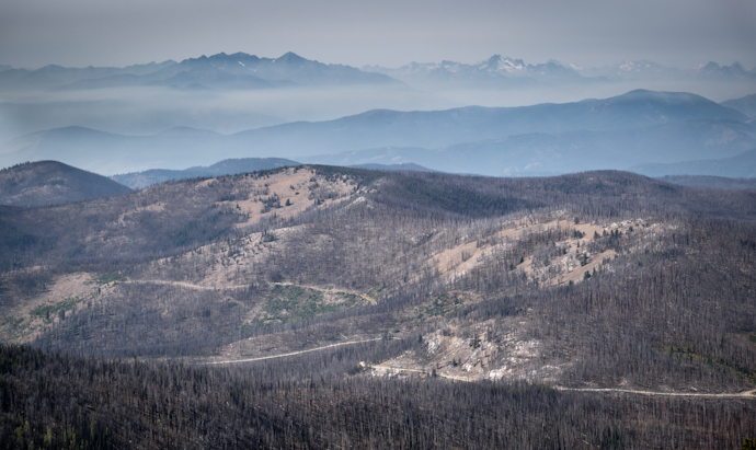
Layers of forest fire smoke fill the valleys and obliterate the views


A cool rock


If there’s an edge, Luna will stand next to it and look down


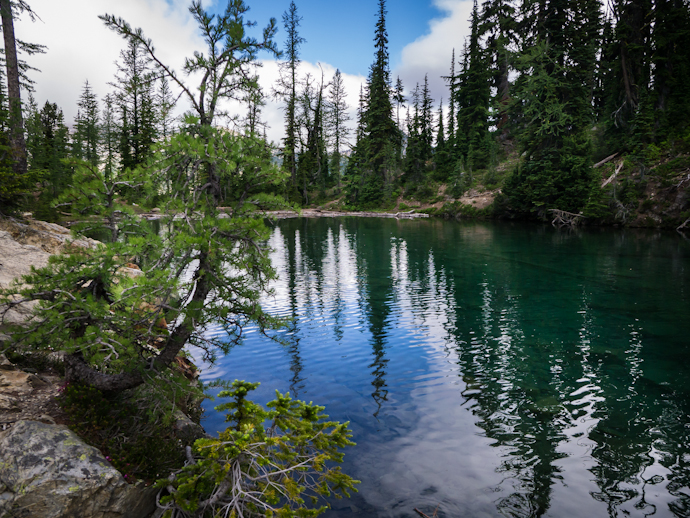
Tiffany Lake in the distance


Lunch away from the edge and sheltered from the breeze. The smoke is getting higher.


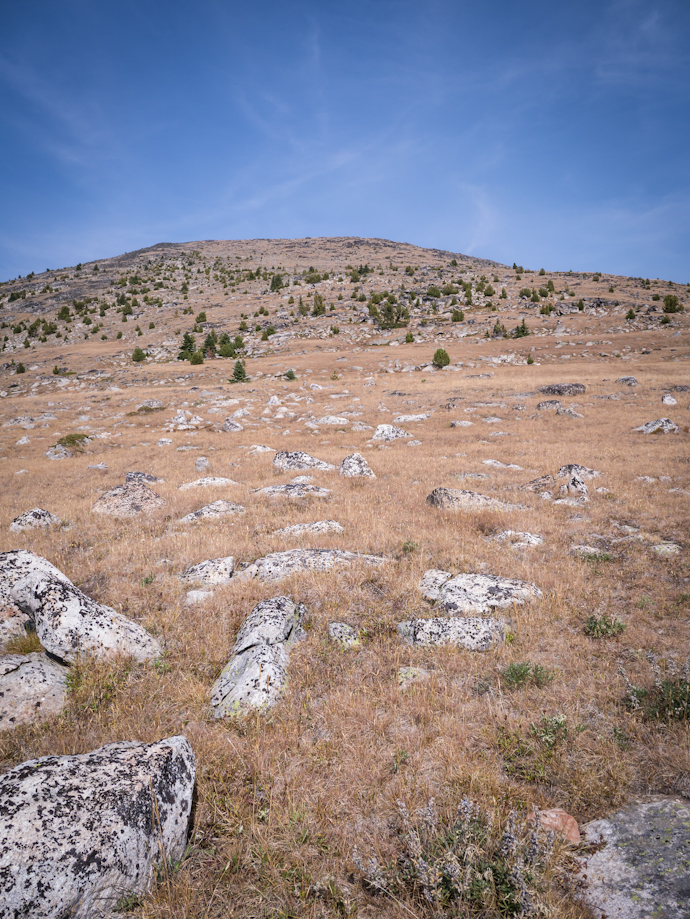
Looking back at the mountain top


Lots to photograph along the trail


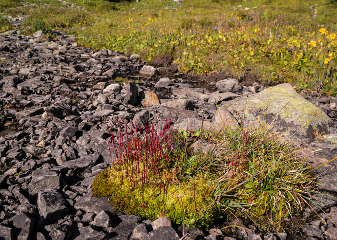
We both enjoyed this red leafed plant with tiny leaves.


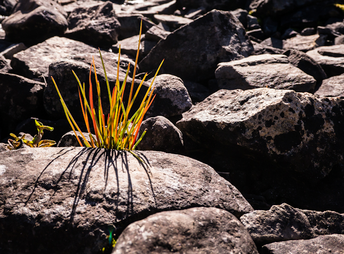
Fall colors


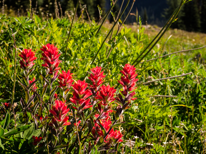
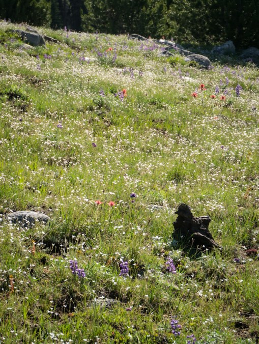
And still some paintbrush in bloom!


The first yellow larch trees


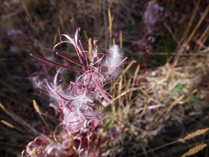
We were late for the fireweed flowers


The seedheads are pretty interesting and still colorful


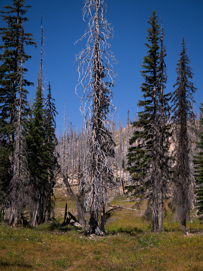
An old burned forest.


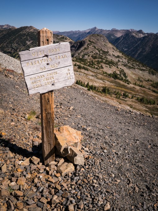
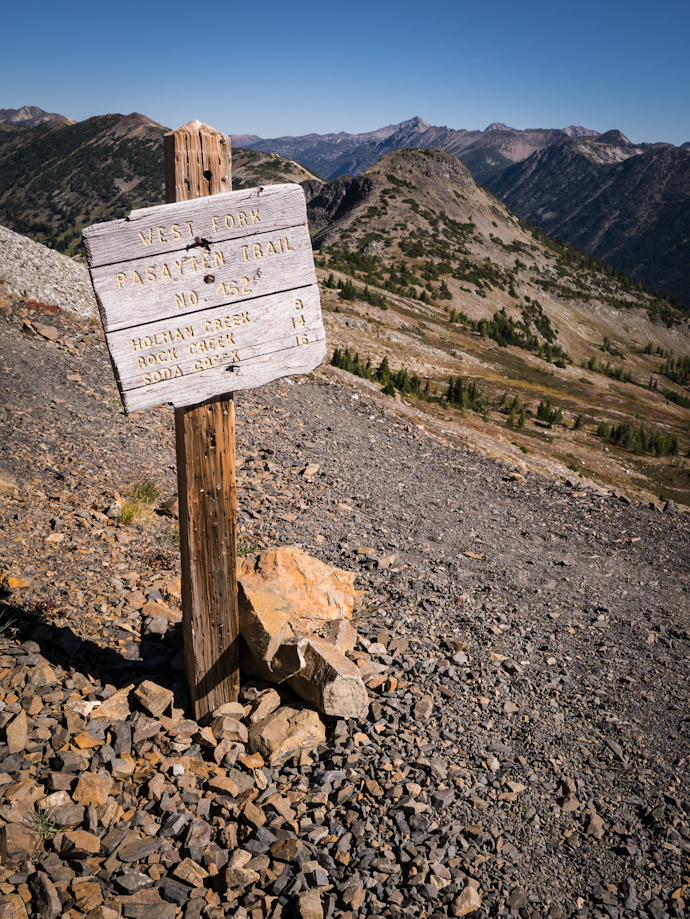
It’s been a few weeks since I had a nice hike in the mountains. I had grand plans for a hike every week this summer and have fallen far short of that goal. Yesterday’s hike was a good one. With the passing of Labor Day and the start of school, it sems that summer is over. Nights are cooler and days are way shorter. The light is marvelous and the air is crisp making for perfect hiking conditions. Luna and I drove most of the way to Slate Peak and then took the Buckskin trail down into the basin below the lookout. We left the trail and rambled through the basin and then up to the ridge where we found the West Fork of the Pasayten trail and returned to the road and walked back to the car. It was not a long hike but it was long on views and surprisingly, quite a few flowers. There were also lots of migrating birds – in particular I noticed Cooper’s Hawks, American Pipits and White – crowned Sparrows. Also many finches in flight that I could not identify.


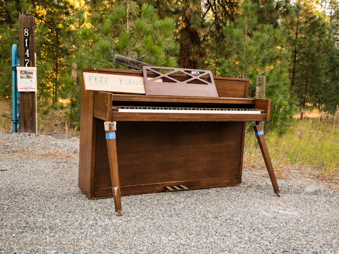
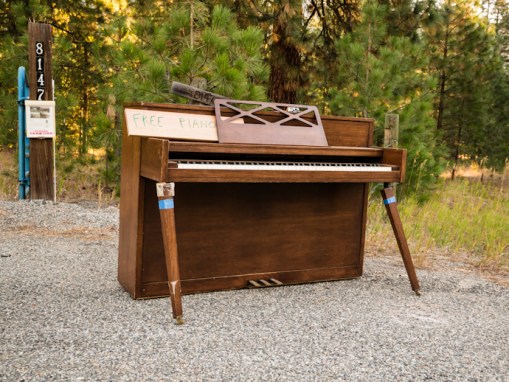
Almost to Mazama on highway 20 I saw this free range or feral piano, abandoned by the side of the road. There was a package of castors to replace the broken ones. I’ve seen bbq’s, out dated tv’s, couches, even old satellite dishes; but this is the first time of seen a piano on the side of a road.
 

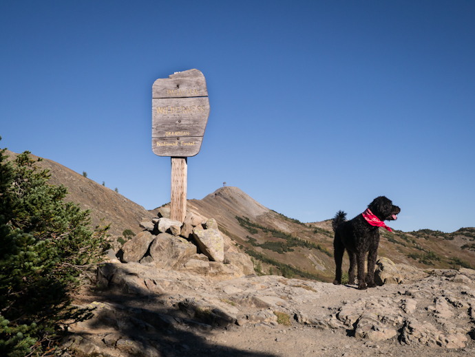
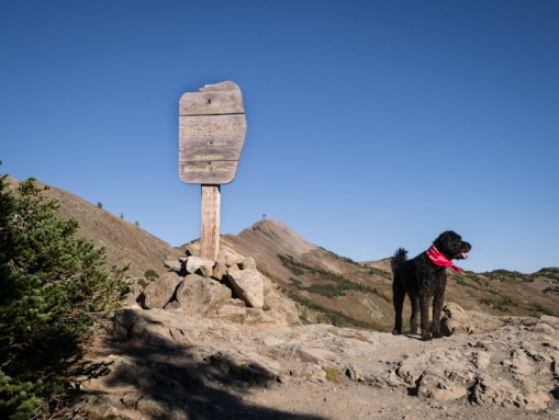
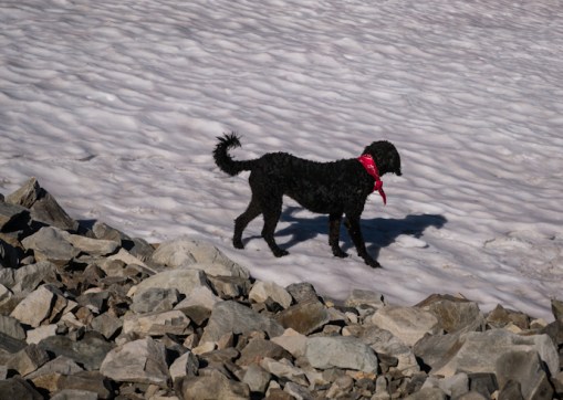
Luna is wearing red because it’s hunting season and more than once I’ve benn told that she looks like a black bear.
 

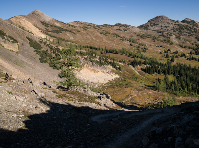
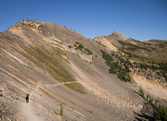
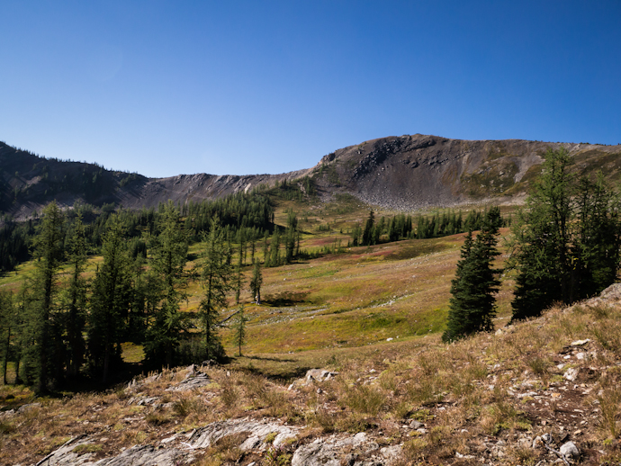
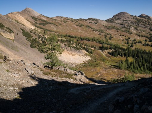
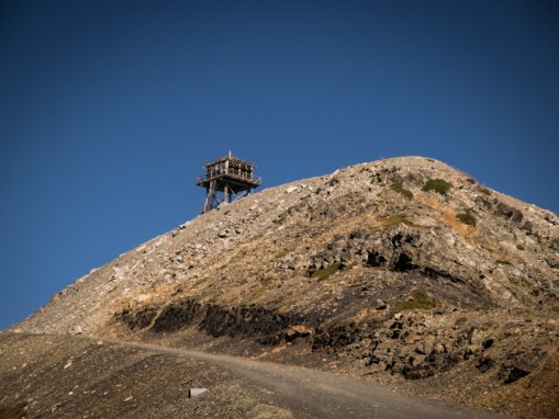
This photo needs some arrows to show our route. Our trail drops down there in the shade on the bottom right of the image and then you can barely see it crossing the talus (rock) slope to the left before it drops down into the meadow. We crossed through the larch trees and on the other side of them left the trail to ramble up through the basin and to the ridge, where we joined the second trail and it took us to the road just below and to the left of the lookout on the high point.
Red leaves show that there’s already been a frost. It was 42 in the sunshine when we started our hike. I was glad I had a jacket and wool gloves.


Luna is already out on the trail.


In the meadow there were lots of flowers. Here is a paintbrush (Castilleja sp) with blue gentian in the background
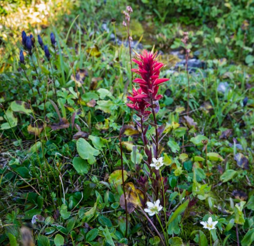
 

I love the dark blue gentian, a late summer flower in the high country.


Looking back at the trail as we enter the trees.

There was a family of Cooper’s Hawks calling loudly and flying around in this area.
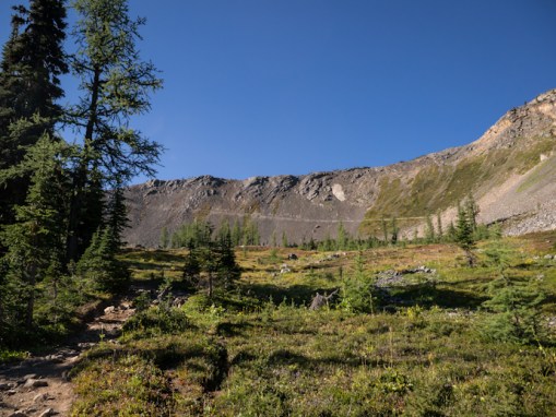
 

Moss shows that the area is still wet despite the fact that we’ve had no rain in a month or more.
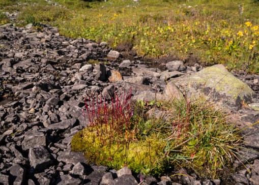
 

I could not resist this tiny scene
 

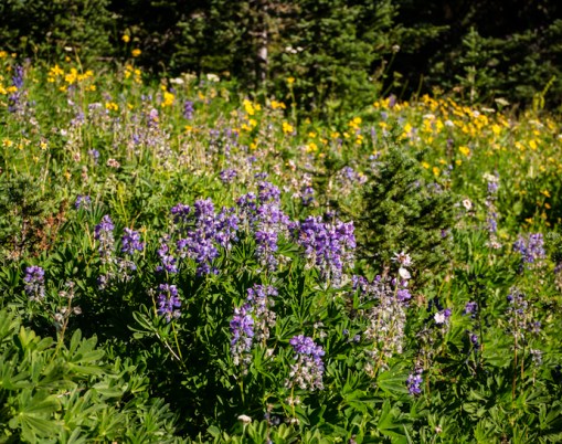
How many months of lupine are there? Seems like I’ve been seeing it since April!
 

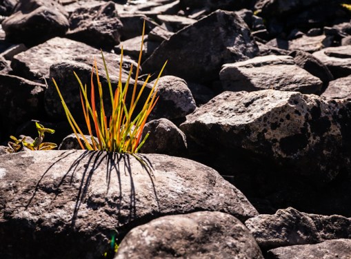
Pink monkeyflower and its shadows.


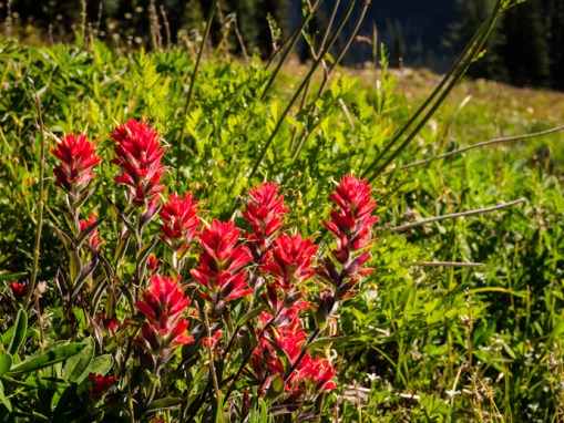
More paintbrush. I saw at least three different colors of it.
 

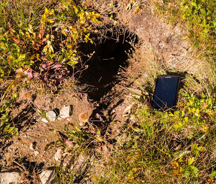
Someone’s burrow. It is pretty good sized. Maybe a marmot? I think they live in rocks. A wolverine?


Another view looking back. We’ve left the trail and are heading up now.
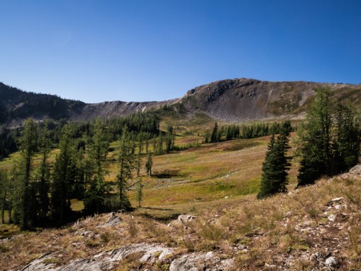
 

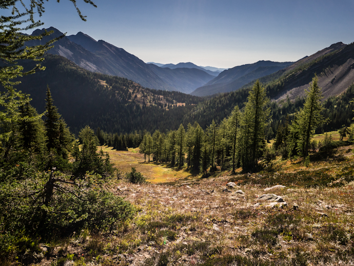
And looking down valley. Within a month all those larch (tamarack) trees will turn golden and their needles will begin to drop.


A much-needed rest in the shade.


Now we are higher than when we started.


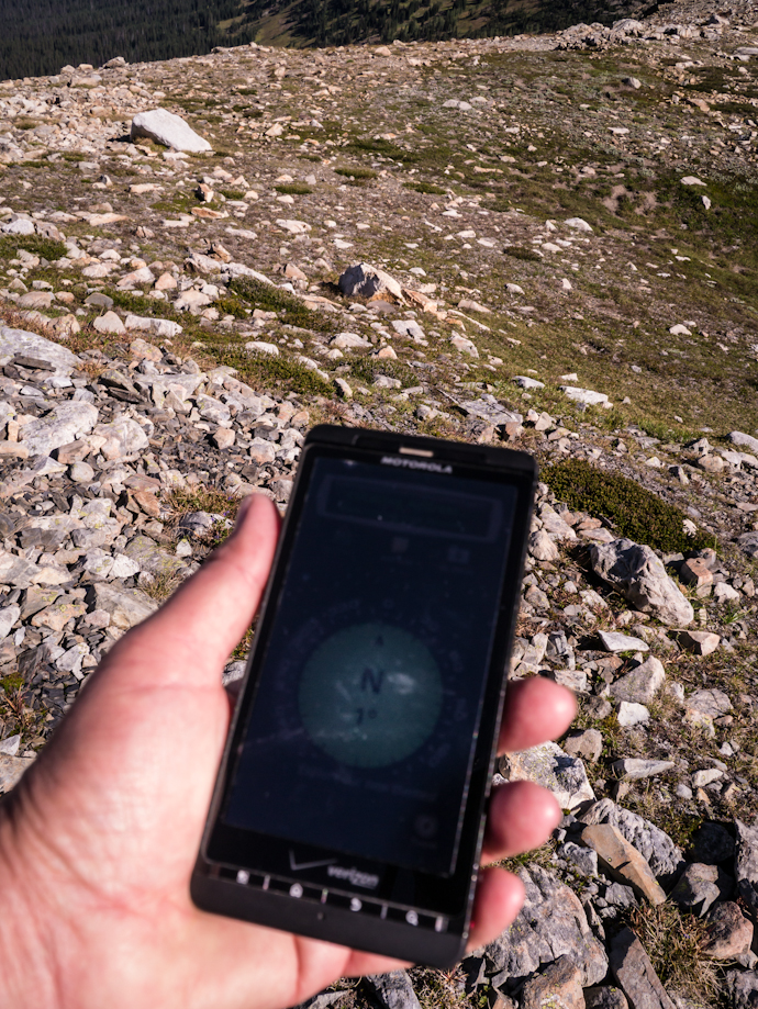
My cell phone has a compass app. I wonder how it works even without a cell signal? Any ideas?


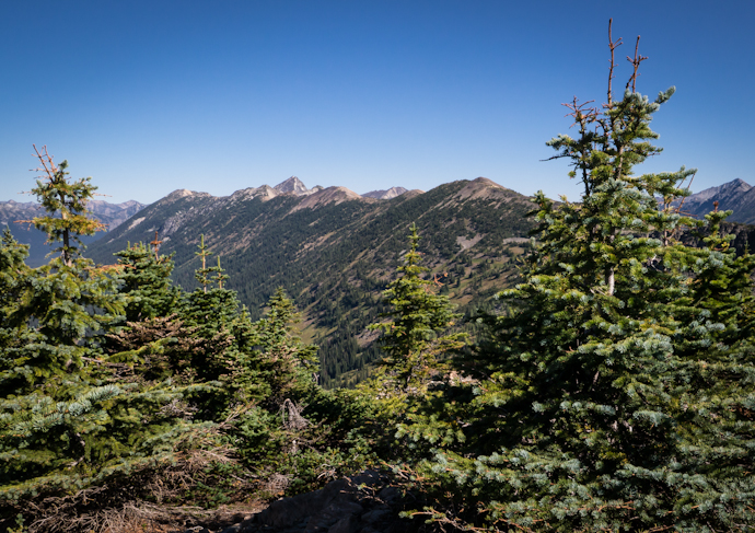
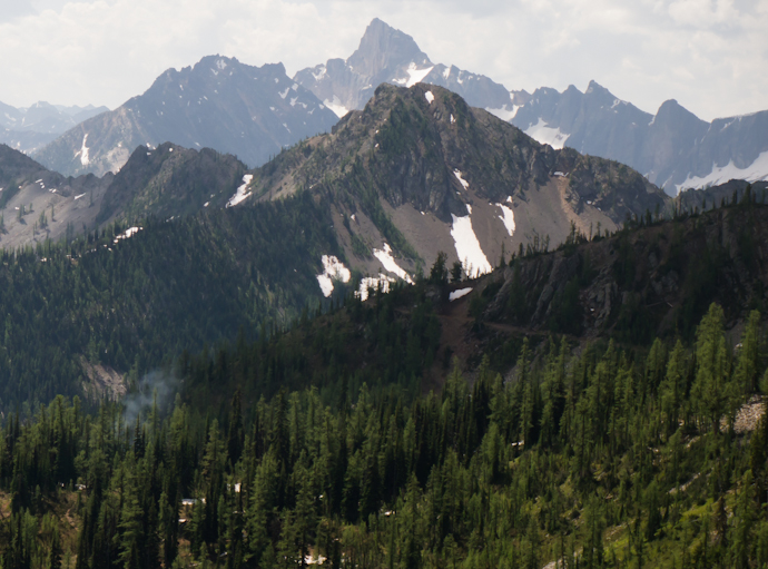
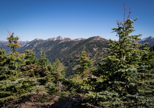
Looking north towards Canada. The stunted spruce and other species of trees at high elevations are sometimes referred to as krumholtz – crooked, bent or twisted
 

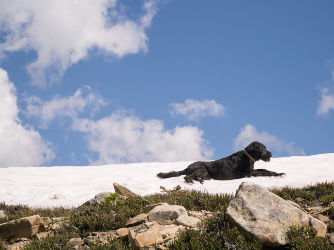
Luna was happy to find two lingering snow patches
 

And up to the road. It was almost a mile walk back to the car.
 

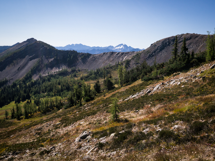
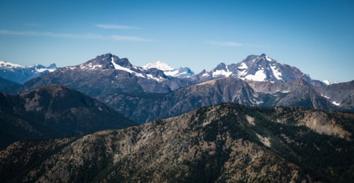
Views to the west from the road. That’s Mount Baker in the middle.
 

And a last view of the lookout
 

We stopped in a silver forest to look for birds. Mostly Yellow-rumped Wablers. Also a Townsend’s Solitaire.


An aster next to the creek.


Ahhhhhh.


Last year I went to Blue Lake twice in the fall so this year I wanted to make sure and get there during its short summer season. The snow has only recently receded and still covered the trail in one place – maybe an avalanche chute. There were still a couple of small icebergs floating too. And given that the weather up there on Thursday was cool and cloudy, it was very early in the short summer for Blue Lake. Winter is the major force in the North Cascades, lasting from October through July; well that’s when there is snow on the ground.


Looking towards the lake outlet


And back at the talus slope still mostly covered with ice and snow


Small iceberg. My hiking partner said it would be fun to swim out to it and climb up on it. She didn’t do it.


Luna swam


Chilly on the trail. Down in the valley it was near 90.


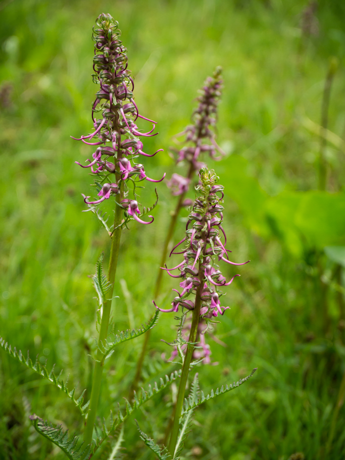
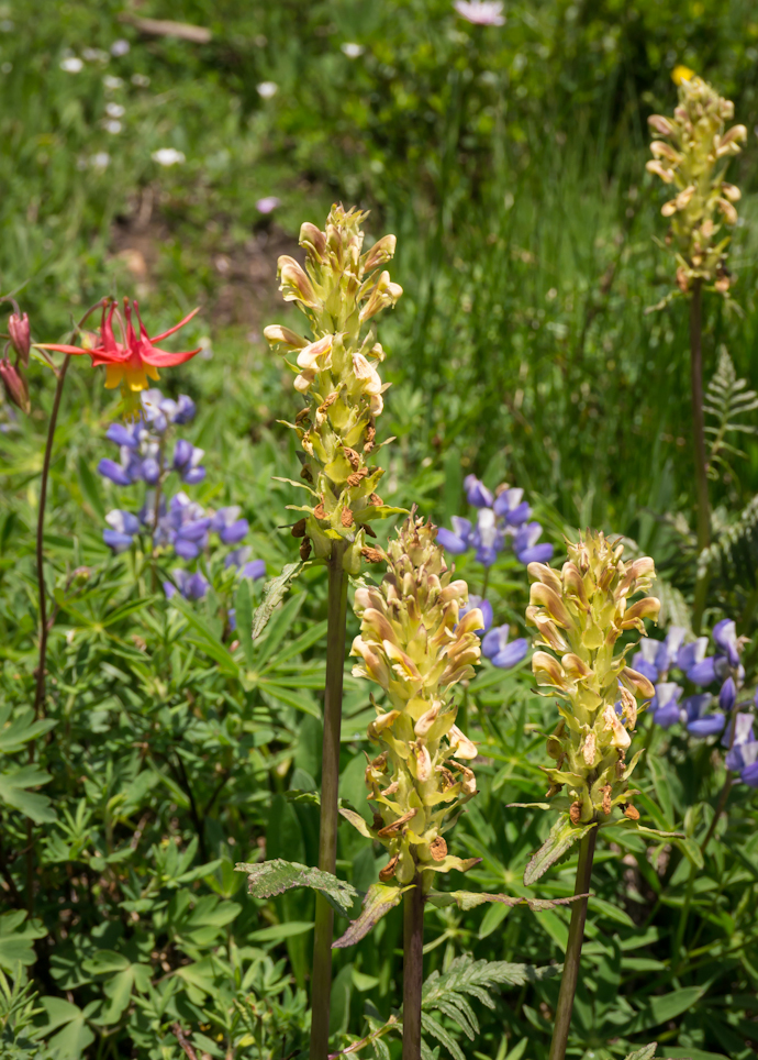
These elephant’s head lousewort, Pedicularis groenlandica, were blooming in a bog at the trailhead, along with white bog orchids, Platanthera dilatata


The Pacific Crest Trail (PCT) stretches from Mexico to Canada along the crest of the mountains – from the Sierra Nevada in California to the Cascades of Washington. It intersects roads in many places so day hikers can get a taste of what the through hikers do everyday for months on end. One of my favorite pieces of the PCT follows a ridgeline to Grasshopper Pass. I like this trail for a variety of reasons – one, it’s never steep; two, the views are outstanding; three, the wildflowers are grand; and four – later on the larch trees change to a lovely shade of orange before dropping their needles. Oh, there are also lots of marmots and ground squirells and pikas! Pikas, if you are not familiar with them, live in talus slopes and are the smallest member of the lagomorph family; they are tiny rabbits. They do not hibernate like many of the mammals of the high alpine country. Instead, during the summer and fall months, they gather grasses and vegetation and create little hay piles to keep them nourished through the LONG winter! And it is long. The snow has only just recently melted from this region.

Only 35 miles to Canada. Doesn’t sound so bad.

The trail starts out crossing this rocky talus slope where the pikas live.

Anemone

I do not know this pretty blue flower

I think this is Lewisia columbiana

Its tiny delicate flowers up close

A vibrant red Castilleja (paintbrush)

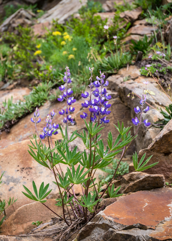
Really, do I always have to include an image of lupine?

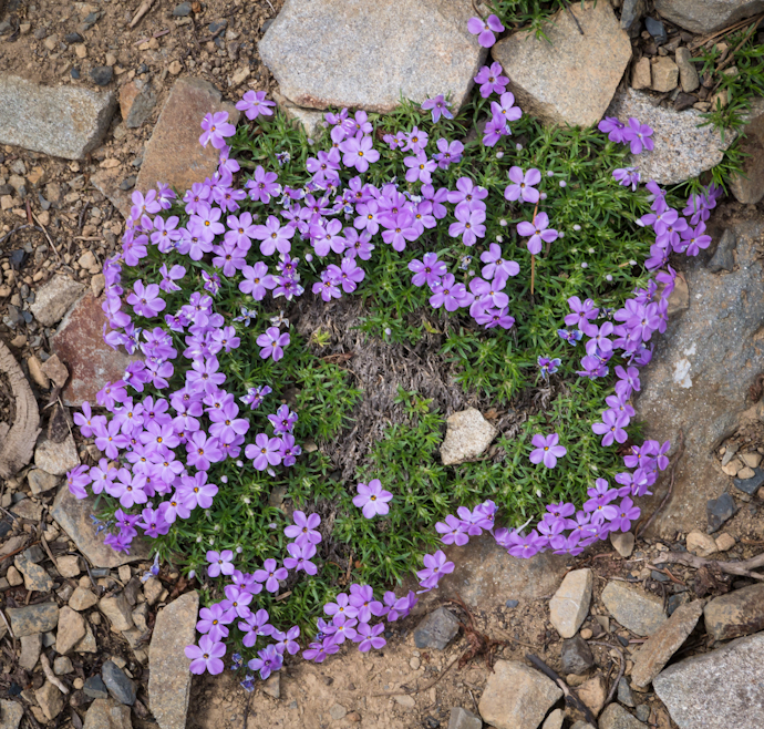
Ground hugging phlox

I think this is a penstemon

I knew this one last year!

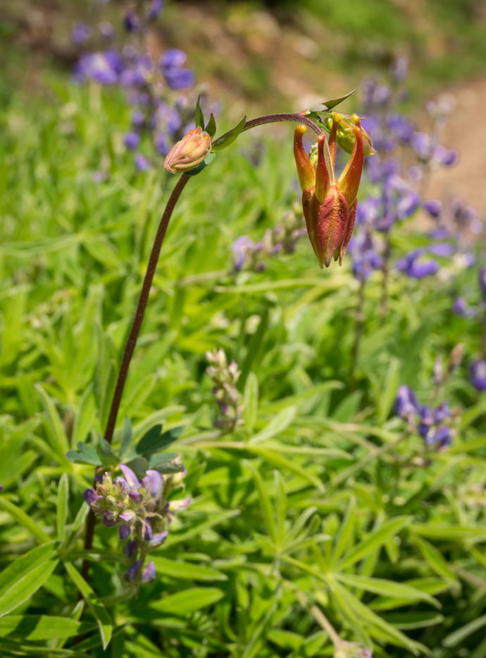
Columbine

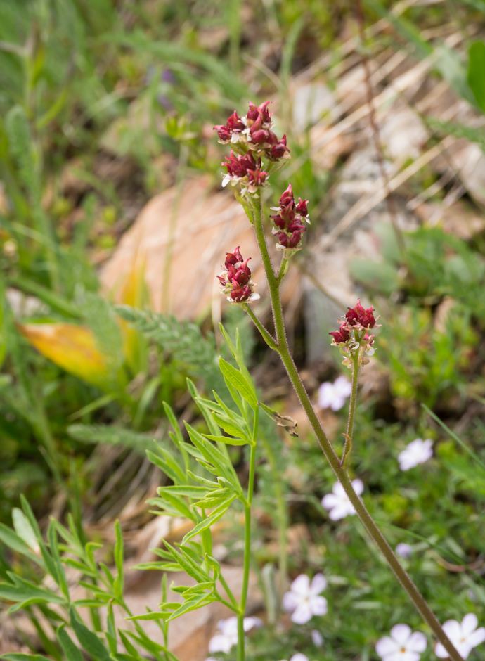
Maybe a lousewort?

The trail is carpeted with last year’s needles from the alpine larch trees that are now covered in fine green foliage.

Nothing better than finding a snow field on a July hike!

See the smoke in the lower left hand corner? Probably a result of the previous night’s lightning storm.

Bugs do it.

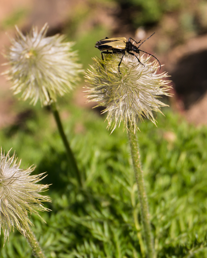
Anyone know what kind of bug does it? The flower is an anemone seedhead.

Looking back on the trail across the talus slope

Ahhhhh.

Thistles are not well liked by most but they are attractive

Cow parsnip?

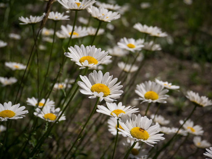
I think these are non-native daisies but they sure are pretty little things.

Trying to get in one hike per week is not always easy. Everyday life and work gets in the way, of course, and then there’s the weather. Friday I was planning a mountain outing and the weather forecast was for extreme thunderstorms and lots of rain. I cancelled my plans and was glad of it. We were lucky to have lots of rain, thunder and lightning and wind. Other places also had flash flooding and 80 mph winds that pushed down trees and knocked out power.

I managed to get some work done on Friday and changee my hike to the other side of the valley and headed for Tiffany Mountain, elevation 8242′. It’s a long drive up Boulder Creek from the East Chewuch Road, 22 miles from Winthrop to the trailhead. The valley had scattered fog from the rain the day before and puffy white clouds appeared up high. The Freezeout trail to Tiffany is three miles, one way, with a steep part to start, then a gradual grade and finishing with another steep part to get to the top. The elevation gain is 1740′. This area is great for wildflowers but Luna and I were a couple weeks early for the main part of the bloom. We may have to do it again!
Looking up at the mountain I could always see white clouds behind it. At the top, looking down the other side towards Tiffany Lake, all I could see was cloud – no view of the lakes or even towards the Okanogan. The clouds were piled up against the ridge. It was mostly sunny for us with a few sun blocks off and on. The temperature was comfortable and I needed my windbreaker at the top where it was breezy and cool.

Fog in the river valley before I left home.

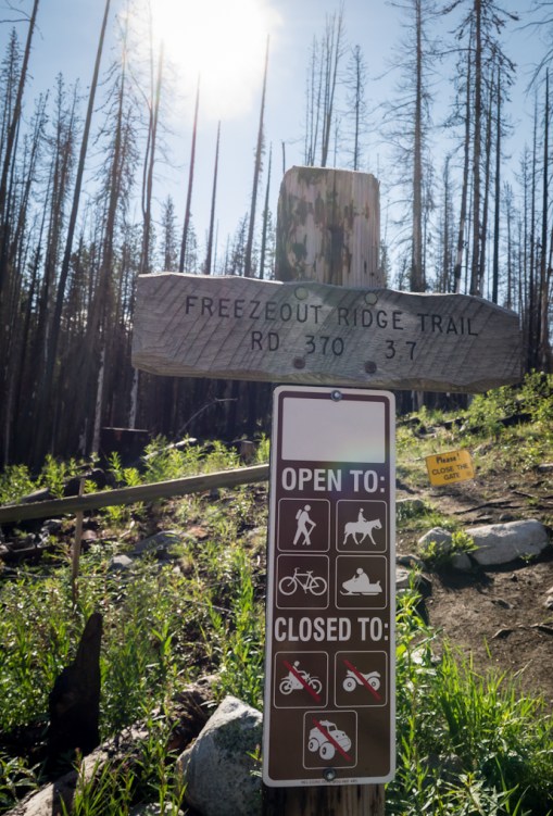
This area is part of the Tripod fire from 2006.

I have to confess – I saw this piece of wood from a long ways away and was convinced it was a grouse.


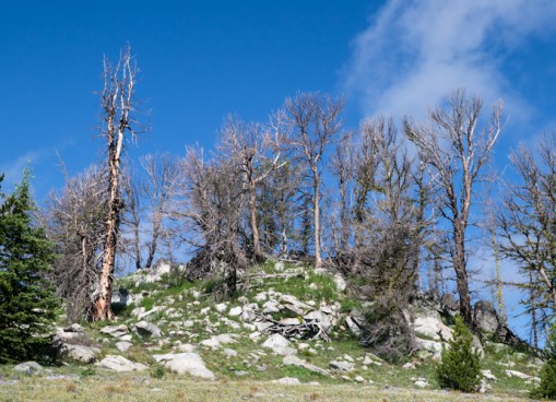
I think these are dead whitebark pines. Whitebark pines are in decline around the west for a variety of reasons. You can learn more about them here.


The ‘easy’ part of the trail, with the summit in view. In a couple of weeks, the meadow will be ablaze with wildflowers.


From the top, looking south along the ridge. The Okanogan and Conconcully are on the other side that is covered in clouds.


And looking northwest; down to the right in the mist, way down, is Tiffany Lake. I did get a glimpse of a pika in the rocks and heard their high-pitched calls


Ladybugs clustered on lichen covered rocks near the summit.


Good Luna – look at the camera!


Even with several tries, I never did get her to look at the camera with me!


Heather is just starting to come in to bloom


Close-up of a whitebark pine


I learned a long time ago from a botanist that flowers like this are commonly referred to as DYC’s – darned yellow composites.


Asters – another member of the composite family


Sedum lanceolatum, maybe. Definitely a sedum.


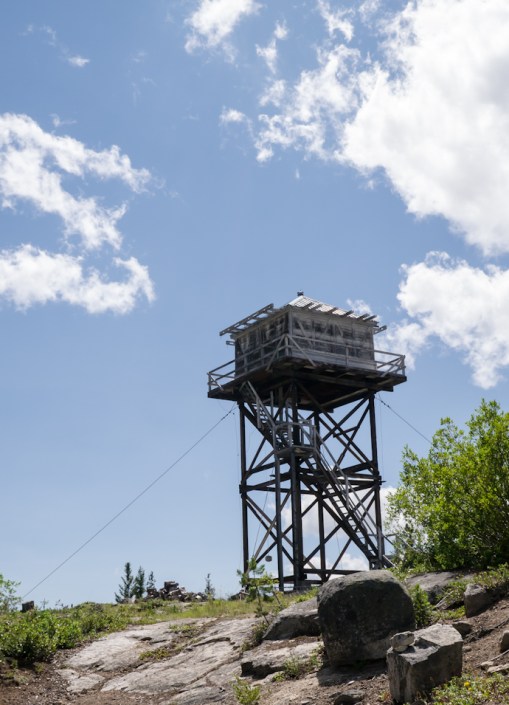
Luna and I took a side trip to look at First Butte Lookout. Only five miles the sign said. Five rough miles. Now I’ve seen it and don’t have to wonder about it anymore.


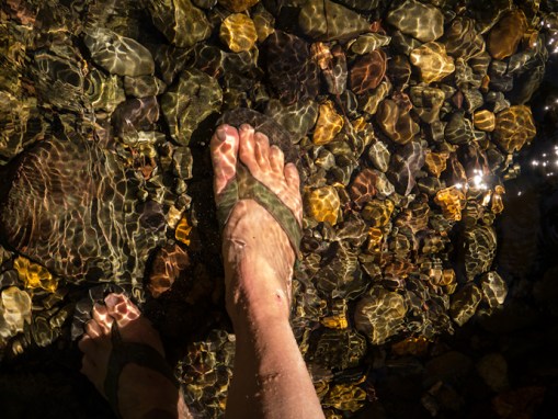
Always have to remember to cool my feet after a good hike.


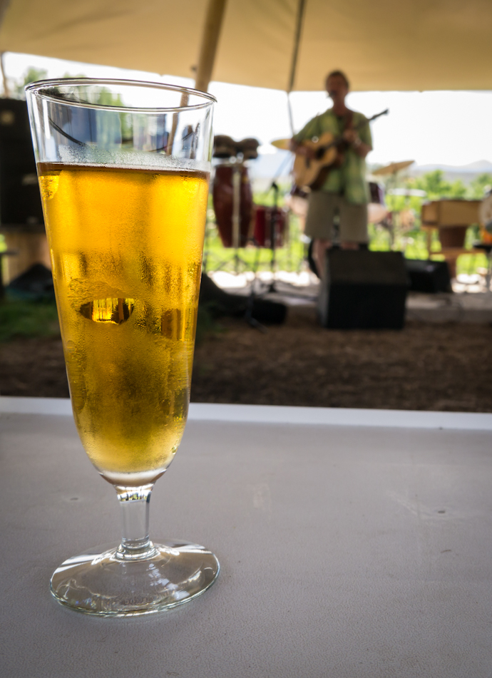
And the reason I picked a hike on that side of the valley? Ken was playing music with his friend Bill at the Methow Valley Ciderhouse! A cold glass of Howling Wolf Cider really hit the spot!