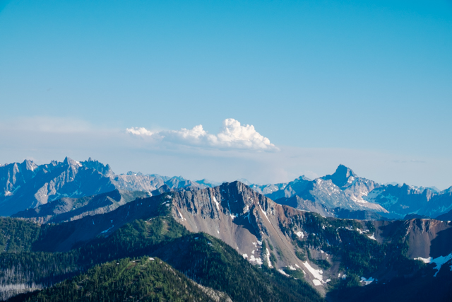
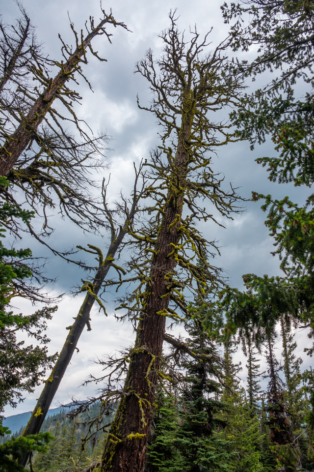
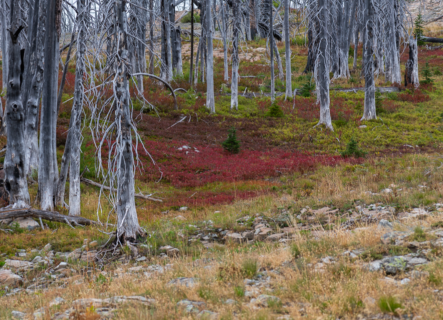
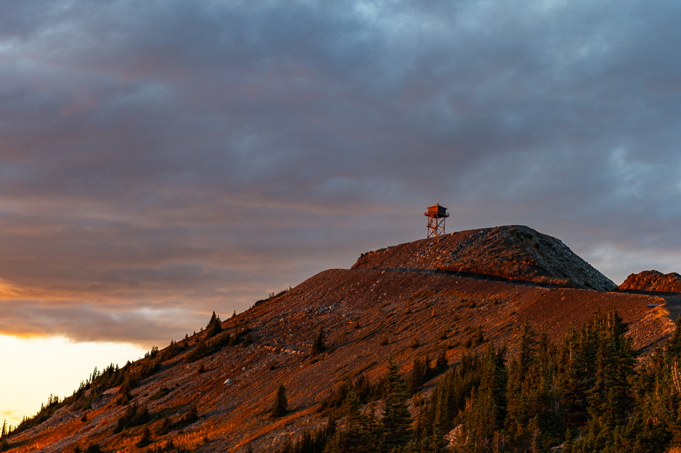
This is a steep, really steep hike, in my opinion. We started at the trailhead on the north side of Bonaparte Mountain with a trail a little less than three miles long with at least 2000′ of elevation gain. It starts out really steep for the first half mile or so and then is not quite so steep. There were no views til we reached the top as the trail is mostly in dense lodgepole pine forest. It does change to subalpine fir and white bark pine near the top. At the top, storm clouds and fog were rolling in so initially we had no views from the lookout either! But as we visited with the lookout himself, the fog and clouds moved around giving us views here and there til most of the 360 degree view was laid out in front of us. There’s a lot to see. From Tonasket to Oroville and Lake Osoyoos, Havillah and Chesaw and around towards the Wauconda summit and the Kettle Crest range of mountains and Sherman Pass. All well-known locations in Okanogan and Ferry Counties, some of the lowest populated areas of Washington.
As we relaxed more storms were coming in with thunder and lightning so we made a quick descent back to the truck.

This is after the first really, really steep part.

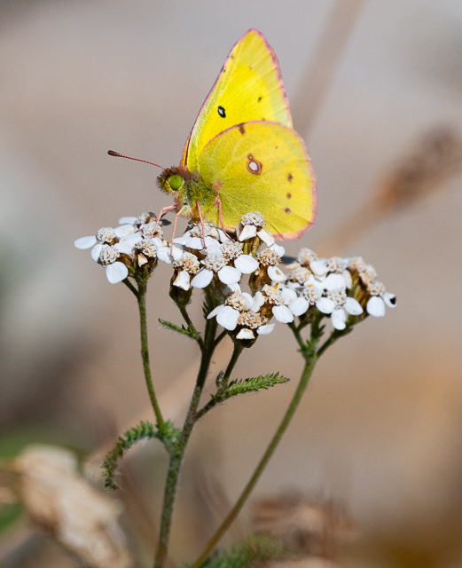
Break for snacks

The perfect Christmas tree

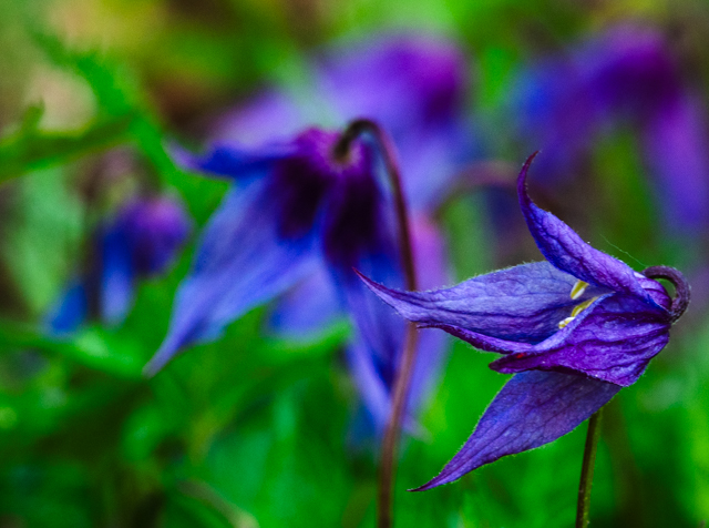
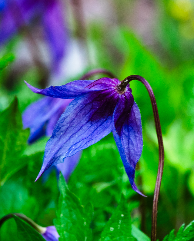
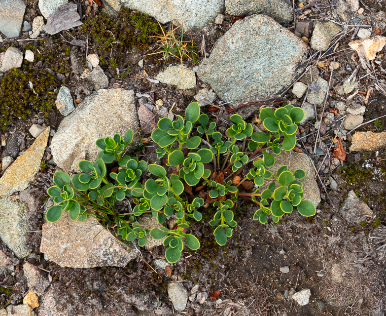
Native rhododendron

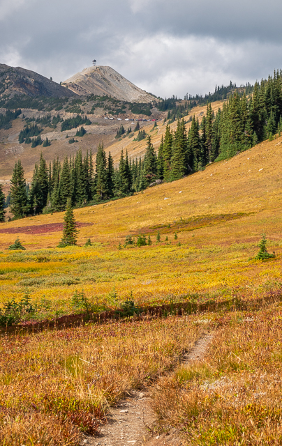
Bonaparte Lake is down there beyond that round mountain

Oroville and Osoyoos Lake in the distance

Havillah

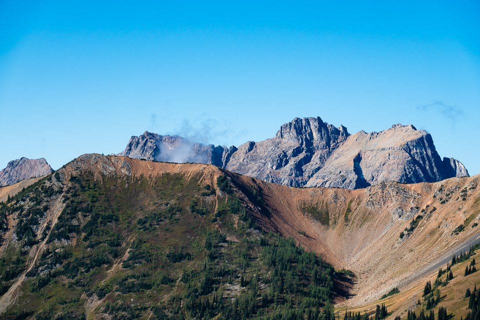
Chesaw and Buckhorn Mountain

The lookout uses this fire finder to pinpoint lightning strikes and new fires.

It was his third day on the job.

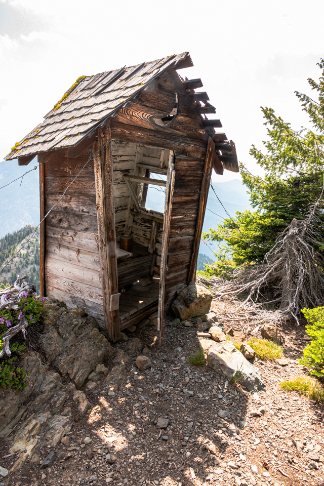
The small building next to the lookout is the old lookout, dating back to 1914 and now used for storage.
You need to turn up your sound to hear the places I identified on this video